

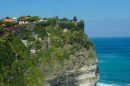


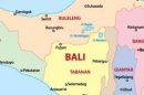


Although one of the most popular travel destinations in Asia, a lot of people still ask ‘Just where is Bali?”
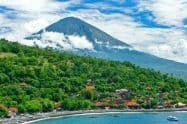
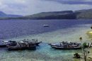
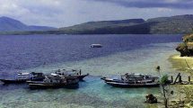
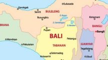
Bali is just one of Indonesia’s more than 13,000 islands but is certainly the most famous. Bali is located in the south of Indonesia, between Lombok to the east and Java to the west.
Where is Bali Located in Indonesia & Where Situated on a World Map
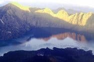
Bali is 4,555 kilometres north from Australia and for this reason, is the main travel destination for thousands of Australians year after year. It is also positioned south of Malaysia, south-east of Singapore which brings in thousands of travellers from other parts of Asia.Bali is located just 8 degrees south of the equator, making it a hot and humid destination. Bali is surrounded by the Java Sea to the North and the Indian Ocean to the south. The Java Strait separates Bali from its nearby neighbour Java and they are only 3.2kms apart.
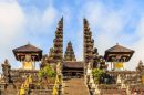
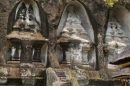
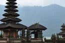
Bali has a population of approximately 4.2 million people with the main religion being Balinese Hinduism with the remainder following Islam.
To get to Bali by plane, a flight will only take 6.5hrs from Sydney, 2.5hrs from Singapore, 3hrs from Kuala Lumpur and 4hrs from Bangkok.
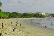
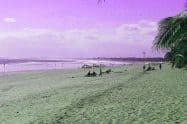
The capital of Bali is Denpasar, which is located in the southern part of the island and the main airport of Bali, Ngurah Rai Airport is located also on the south of the island.


Do You Have a Question to Ask?